Using a new technique originally designed to explore the cosmos, scientists have unveiled structures deep inside the Earth, paving the way for a new map revealing what Earth's interior looks like.
The findings were published today in Science.
Similar to the way doctors use ultrasounds to look inside the human body, earth scientists currently use seismic waves to probe the Earth's interior. However, their task is much harder: they need to wait for an earthquake to record data, and when this happens, it only provides information in a piecemeal manner; the data is restricted to a tiny region, and most of the time it's impossible to distinguish weaker echoes from noise.
The unusual team of space and earth scientists used a novel algorithm called the Sequencer, originally developed to find interesting trends in astronomical datasets, to analyze thousands of seismograms—records of vibrations of the ground following an Earthquake—collected over the past 30 years.
"With this new way to look at the data globally, we were able to see weak signals much more clearly," says Brice Ménard, an astrophysicist at Johns Hopkins University and one of the team members. "We were finally able to identify the seismic echoes and use them to create a map."
Doyen Kim, a seismologist at the University of Maryland and co-author on the paper, explains: "Imagine you're outside in the dark. If you clap your hands and then hear an echo, you know that a wall or vertical structure is in front of you. This is how bats echolocate their surroundings."
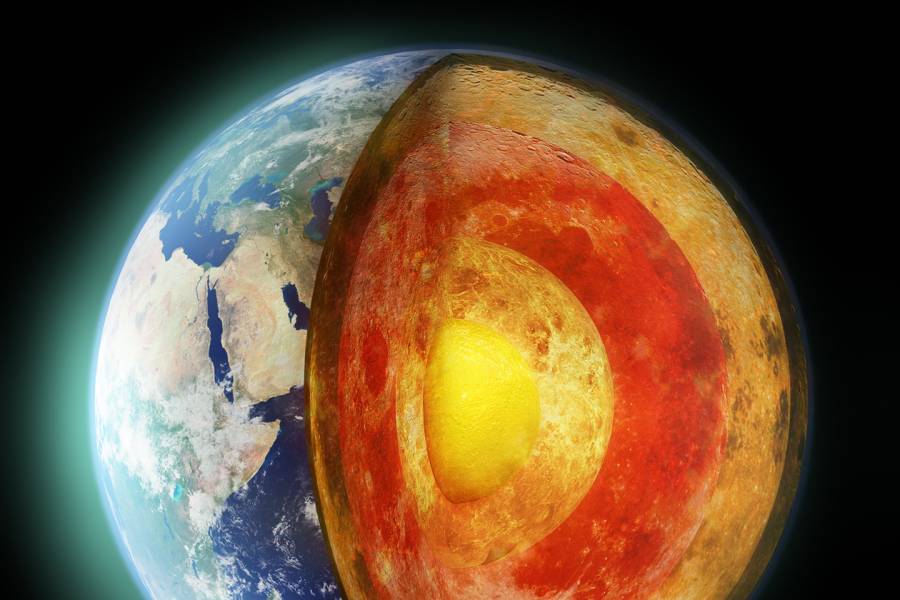
Using this principle, the team used the Sequencer algorithm to parse through thousands of seismograms for echoes to create a new map showing details of the Earth's mantle, just above the liquid iron core, at a depth of 3,000 kilometers.
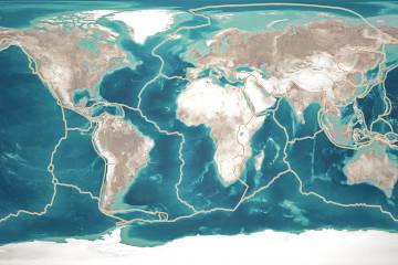
This map shows a large area under the Pacific and reveals hot and dense regions below Hawaii and the Marquesas Islands in French Polynesia. Like the explorers who drew the first incomplete maps of America, these scientists are now charting the Earth's interior.
The Sequencer algorithm, developed by Ménard and graduate student Dalya Baron, has the ability to automatically find interesting trends in any type of dataset, and has now enabled discoveries in astrophysics and geology. The team now looks forward to seeing what researchers in other fields will find with this technique.
Posted in Science+Technology
Tagged earth and planetary sciences