In celebrating the most impressive mapping efforts of the past year, National Geographic has highlighted a project with Johns Hopkins ties that brings new transparency to America's history of redlining.

Image caption: N.D.B. Connolly
Image credit: Will Kirk / Johns Hopkins University
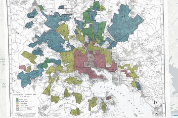
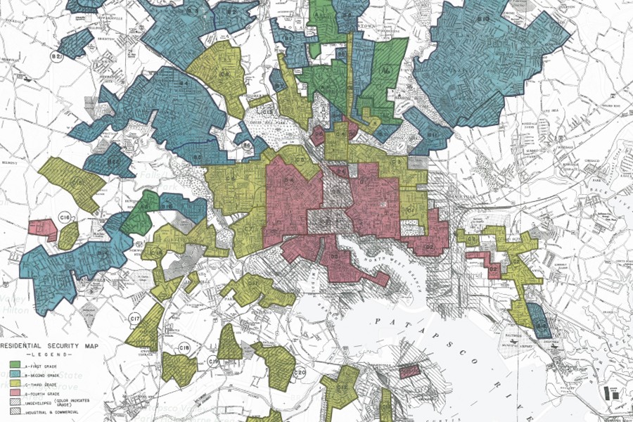
Mapping Inequality offers unprecedented access to records of government-sanctioned housing discrimination of the 1930s. Johns Hopkins historian N.D.B. Connolly is one of the academics who led the effort to digitize the New Deal-era archives in an interactive format.
The online database features hundreds of interactive maps and notes from the Home Owners' Loan Corporation, a federal agency created to shore up the housing market during the Great Depression. The agency's officials blatantly relied on racial and socioeconomic factors to rate the investment risks of different neighborhoods, preventing many potential homeowners from taking out loans. Such documents set the stage for housing patterns for decades to come in cities across the United States.
"It's a troubling legacy that's now more open to study by academic and amateur historians alike," Nat Geo's Greg Miller writes in his "Best Maps of 2016" roundup.
Connolly, who helped bring the National Archives materials online with colleagues from three other universities, recently told Johns Hopkins Magazine that the project encourages deeper thinking about "what people's popular narratives are today about segregation and redlining."
The records in Mapping Inequality, he added, provide "a way to think about racial inequality as far more of a problem of law and economics than of culture."
Posted in Arts+Culture, Politics+Society
Tagged diversity, nathan connolly, maps, redlining, housing policy